| | Welcome to the OSGeo:UK Newsletter |
|
Hello, and welcome to another OSGeo:UK newsletter. Every couple of months, this is where we share updates and information about the OSGeo:UK local chapter, along with other FOSS for geospatial goodness. Please share the newsletter widely so that interested friends and colleagues can sign up too. For now, enjoy this edition that focuses on the upcoming FOSS4G:UK 2026 in Leeds. |
|
Find out more about OSGeo:UK and how you can be part of our community on our website. |
|
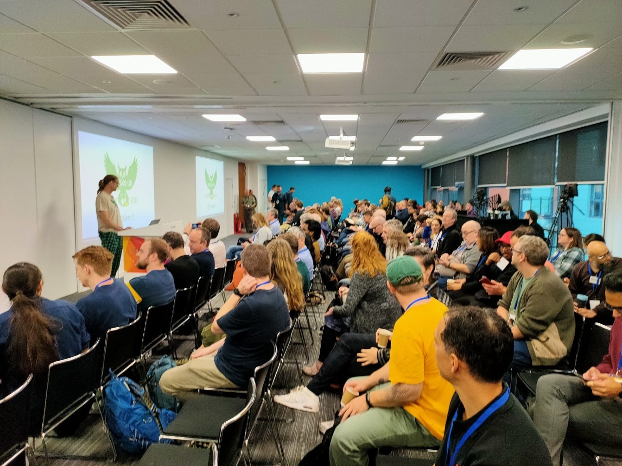
It’s fantastic to see such a strong response to FOSS4G:UK 2026 in Leeds. The early bird tickets have completely sold out which is amazing! Thank you everyone for your support so far. There are still a limited number of single-day tickets available, along with plenty of standard-price tickets, so if you haven’t booked yet, now is definitely the time. The conference takes place on 12-13 October at Horizon Leeds, with more than 50 sessions over two days, and networking across multiple rooms (see FOSS4G:UK)
The Call for Talks was also hugely successful and was over-subscribed, giving us a fantastic selection of open source geospatial talks to choose from. We’re putting the programme together and the first version is currently online (see https://talks.osgeo.org/foss4g-uk-2026/schedule/). There’s clearly going to be a lot to look forward to, with a great mix of developers, practitioners, researchers, consultants, public sector teams and community groups coming together. As more speakers accept their invitation to speak (please do confirm if you have received an email about this), so more slots in the schedule will become publicly visible. Once a majority of speakers have responded then the FOSS4G:UK website will become the source of truth for the schedule, and all other information.
Sponsorship is going really well too, and we’re delighted with the support the event is receiving from across the open source geospatial community. Thank you to all who have sponsored so far. We’re still looking for a couple more Gold or Silver Sponsors, however, so if your organisation would like to get involved, please get in touch via osgeouk@gmail.com.
There’ll also be a social event at the Howard Assembly Rooms (HAR) Bar on the evening of Monday 12th October for an additional cost of £20 (including food and your first drink), which can be booked separately, whether you are coming to the conference or not.
And finally, we’re very pleased to announce that we now have three fantastic keynote speakers confirmed: Abigail Page, Head of UK Geospatial Strategy at the Government Digital Service Anahid Basiri, Chair of Geospatial Data Science , School of Geographical & Earth Sciences at University of Glasgow Fakhar Khalid, Chief Scientist at Sensat
|
|
AGM @ FOSS4G:UK 2026: We need you |
|
OSGeo:UK needs you! This year’s AGM at FOSS4G:UK 2026 is an important one, with the UK taking centre stage in the global open geospatial community in 2027 hosting the FOSS4G global conference. We have three roles open for election: Secretary and two committee members. We'd love to have your nomination to bring fresh energy and community engagement to OSGeo:UK as we welcome the global community to Bristol.
If you care about open geospatial technology and want to help shape the UK community, step forward, get involved and stand for election. We need your voice. More details will be shared on the mailing list and website in due course |
|
THIS NEWSLETTER With the changes in the Committee that are coming at the AGM, there will also be an opportunity for someone to take on this newsletter. The OSGeo:UK Newsletter (as you'll hopefully know) is released every two months and covers updates from the UK chapter, updates from OSGeo global where relevant, information on related software developments and details about events that might be of interest. The release schedule and contents can change to whatever suits the person who takes on the newsletter, but this approach has provided a solid grounding since we started sending it out in April 2024. |
|
Terra Draw, £1000 The GoFundGeo grant has been pivotal in moving the Terra Draw project forward. Two concrete examples this year are the introduction of the widely requested undo/redo functionality, which has been very well received by the community, and support for dashed lines, another feature that users have been requesting for some time. I’m (James Milner) very grateful to OSGeo:UK for their continued support of the project. Their backing has played an important role in helping Terra Draw grow, evolve, and continue delivering useful new functionality to the wider open-source geospatial community.
gitRmap, £500 Receiving £500 from GoFundGeo for gitRmap has been really helpful as it has allowed me (Nick Bearman) to dedicate time to developing the gitRmap code into a usable tool - have a look at nickbearman.com/gitRmap for more details and info on how to use it! I shared the tool at the Open Science Retreat earlier this year, where it was well received and was used by a couple of the groups to create a useful map. It has also enabled me to present gitRmap at two upcoming conferences (inc. FOSS4G 2026 in Hiroshima, Japan) to get some more feedback on the tool and hopefully get some more users!
GeoNetwork, £1000 GeoNetwork 5 is a major upgrade to the widely used open-source geospatial catalogue platform. The new version will address key security and sustainability challenges by moving to Java 17 and associated technologies, while also introducing a modern XML engine and support for OGC API – Records. Development will be delivered through a series of funded milestones, providing working functionality at each stage before ultimately delivering a standalone replacement for GeoNetwork 4. OSGeo:UK has contributed funding to help ensure the GeoNetwork remains a secure, modern and sustainable open-source platform for the future.
qgis2web, £1000 In December 2025 Andrea released V3.31.0 of qgis2web. By August 2026 the project was on release V4.3.0. The project goes from strength to strength and has fixed issues on (amongst other things) mobile, in OpenLayers and Leaflet, label control, and has made itself QGIS 4 ready. A big update in the latest release is the implementation of PBF Vector Tile export which enables smoother support for large projects and improved responsiveness all round: this is probably the biggest architectural change since qgis2web was created: the processing time moves from map loading to map generation, producing web maps that remain fast regardless of the size of the original data.
pgRouting & QGIS pgRouting and QGIS, both critical projects, continue to be developed thanks to sustaining members such as OSGeo:UK.
GoFundGeo GISRUK Award 2026, £200 A Leeds Institute for Data Analytics (LIDA) data scientist, Chenrui Xiao, won the GoFundGeo GISRUK grant to develop an open-source approach to measuring “wheelability”, or the accessibility of urban environments for wheelchair users and people using other wheeled mobility aids. The project uses high-resolution 3D mobile-mapping data to identify features such as dropped kerbs, gradients and pavement characteristics, incorporating them into a spatial network to assess accessibility across Bradford. Building on collaboration with Healthy Urban Places and the University of Bradford’s Visualising Heritage team, the work aims to turn this research into a reusable geospatial tool that could help cities better understand barriers to inclusive mobility and improve street design. |
|
FOSS4G Hiroshima 2026 takes place from 30 August to 5 September, bringing the global open geospatial community together in Japan under the theme “Bridging Geospatial Technology and Humanity”. The programme includes two days of hands-on workshops, three days of conference sessions, a community sprint, networking and community events, with a particular focus on how open-source geospatial technologies can help address humanitarian, environmental and societal challenges.
Then the baton is passed to Bristol, with OSGeo:UK hosting FOSS4G 2027 from 23–29 August. The event will be based at the University of Bristol, with workshops on Monday and Tuesday followed by three days of conference sessions, giving the UK community a fantastic opportunity to put open geospatial technology centre stage and welcome the global FOSS4G community to the South West.
Other OSGeo news A recent Birds of a Feather session at FOSS4G Europe in Timișoara explored the growing use of AI in OSGeo projects, with developers sharing both positive experiences and concerns about AI-generated contributions. The discussion highlighted the need for respectful, human-centred collaboration alongside AI-assisted development, and called for shared guidance, skills and tools to help projects make effective use of AI. If you have an opinion on this then come along to FOSS4G:UK in October and discuss it in the Unconference session, or in the various networking opportunities.
OSGeo has established a new European legal entity, Stichting Open Source Geospatial, based in Wageningen in the Netherlands, alongside its existing US foundation. The move gives OSGeo access to European research and innovation funding, potentially makes donations easier for European supporters, and strengthens its ability to engage with European institutions while retaining a single, community-led governance structure. Find out more here.
|
|
Tell us about your work!
You can submit news stories to be highlighted in this newsletter by supplying suitable details for us to add to a future newsletter issue. We are always looking for individuals willing to write a short thought piece, no more than a few hundred words, for inclusion in future newsletters. Use the same link to submit an idea, which can be about anything to do with the concept of 'open' in geospatial, and we'll get back to you if we'd like you to write that up. |
|
We hope that you found this edition of the newsletter interesting and informative. If you have any feedback or comments then let us know! You can check out the April 2026 newsletter here and feel free to share this and previous newsletters with your colleagues and friends. |
|
|
| |
| |
|